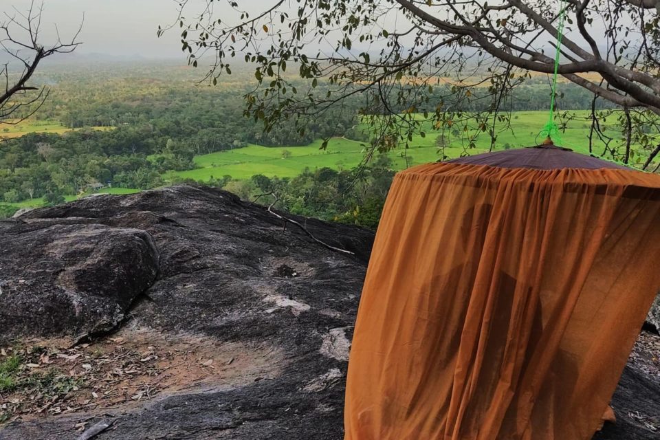
This page features downloadable gpx data for forest cārika routes. These routes are intended for Buddhist monks. One can follow these trails using a hiking app, such as Alltrails or Gaia GPS. See the documentation of the hiking app regarding importing the gpx file to the app.
*One can make custom maps of the routes by uploading the gpx data to… https://gpx.studio/.
*These routes were made with the Alltrails app. A link to the routes on Alltrails is provided where possible.
*Laws regarding the forest can change. Therefore, it is best to check beforehand to see if the route is still considered allowable to take.
Forest Cārika Routes Table
*This table scrolls horizontally. One can move the table left to right to access more rows
*This table is sortable. Click on the up / down arrows to sort by region, rating ,etc.
*The ‘Download’ column is on the far right
| Title | Image | Region | Description | Rating (out of 10) | Download |
|---|---|---|---|---|---|
Dahatuna Kuṭi to Kūragala | 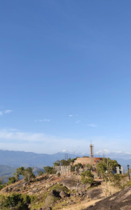 | Balangoda | A route going from the solitary Dahatuna Kuti to the ancient monastery of Kuragala. A beautiful route, which skirts the edge of a cliff. The cliff looks out over Udawalawa Park. The large local landmark Haabidigala is nearby. Ends at the ancient Buddhist monastery of Kuragala. Distance: 4.5km | Speed: 1.9km/h | Moving Time: 2h 15mins | Elevation: up -- 226m, down -- 214m Alltrails Link: https://www.alltrails.com/explore/recording/sl-carika-dahatuna-kuti-to-kuragala-3bd3185?u=m *This route goes from a kuṭi beloing to Bhaddeka Vihari Aranya. Therefore, it is best to ask permission from the abbot before going. | 8 | DOWNLOAD |
Pabbata Kuṭi to Kūragala |  | Balangoda | A shortcut running from the solitary Pabbata Kuṭi to the ancient monastery of Kuuragala. An excellent shortcut up the face of the mountain. This route seems much less steep than other areas of ascent. Appears that it was used in ancient times by people going to Kuuragala for religious purposes. Distance: 0.97 km | Moving Time: 43:10 | Total Time: 54:46 | Elevation: Up -- 240m, Down -- 8m Alltrails Link: https://www.alltrails.com/explore/recording/a-c7e1249?u=m *Note: This route leaves from a solitary kuṭi belonging to Bhaddeka Vihari Monastery. Therefore, it is best to ask permission from the abbot before going. | 7 | DOWNLOAD |
Dahatuna Kuṭi to Wimalabuddhi Kuṭi | 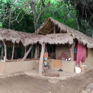 | Balangoda | A route running from the solitary Dahatuna Kuṭi to the solitary Wimalabuddhi Kuṭi. A beautiful route. Skirts the edge of a cliff. Runs down a riverbed to a solitary kuṭi located on the mountain below. A good option for one wishing to go on forest cārika. Distance: 3.31km | Moving Time: 2 h 15 mins | Total Time: 3 h 27 | Elevation: Up -- 131 m, Down -- 310 m Alltrails Link: https://www.alltrails.com/explore/recording/sl-carika-dahatuna-kuti-to-wimalabuddhi-kuti-4921f95?u=m *Note: This route goes between two solitary kuṭis belonging to Bhaddeka Vihari Aranya. Therefore, it is best to ask permission from the abbot before going. | 7.5 | DOWNLOAD |
Dahatuna Kuṭi to Hābidigala | 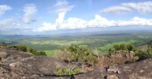 | Balangoda | A nice route going from the solitary Dahatuna Kuṭi to the large rock called 'Haabidigala'. The rock is perhaps the largest on the mountain range. It offers an excellent view of the surrounding area. It is a wonderful place to meditate. Distance: 1.3 km | Moving Time: 39:34 | Total Time: 59 mins | Elevation: Up -- 104m, Down -- 11m | Alltrails Link: https://www.alltrails.com/explore/recording/sl-carika-haabidigala-2e9f978?u=m *Note: this trail leaves from the solitary Dahatuna Kuṭi. The Dahatuna Kuṭi is a kuṭi belonging to Bhaddeka Vihari Aranya. Therefore, it is best to ask permission from the abbot before going. | 8 | DOWNLOAD |
Kūragala Stupa to Dahatuna Kuṭi | 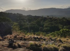 | Balangoda | A route going from the stupa at the ancient Buddhist monastery of Kuuragala to the Dahatuna Kuṭi. This route cuts cross-country rather than skirting the cliff edge. There is little to recommend this route over the route skirting the cliff edge. There is quite a lot of elephant grass. Therefore the route may only be passable in the few months after the grass has been burned. However, the data for this route may be useful if one becomes lost while exploring behind the Dahatuna Kuṭi. Distance: 3.02 km | Moving Time: 1:54 | Total Time: 2:48 | Elevation: Up -- 171 m, Down -- 174 m Alltrails Link: https://www.alltrails.com/explore/recording/sl-carika-kuragala-stupa-to-dahatuna-kuti-cross-country-6216151?u=m Note: This route goes to a solitary kuṭi belonging to Bhaddeka Vihari Aranya. Therefore, it is best to ask permission from the abbot before going. | 3 | DOWNLOAD |
Dahatuna Kuṭi Combined |  | Balangoda | A combination of routes beginning at the Dahatuna Kuṭi. A good area with beautiful views. Lots of elephant grass. Not far from the ancient monastery of Kuragala. | 7 | DOWNLOAD |
Pabbata Kuti to Budugala Ruins |  | Balangoda | A route running from the solitary Pabbata Kuti to the ancient ruins of Budugala. A portion of the route goes along the side of a mountain. There is one stream crossing. Following the stream crossing, the route descends close to the road. The route then continues to the ancient ruins. Length: 2.9kms | Elevation: perhaps -60m | Moving Time: 1:40 | Total Time: 2:06 AllTrails Link: https://www.alltrails.com/explore/recording/pabbata-kuti-to-budugala-ruins-0d80808?p=-1 | 6 | DOWNLOAD |
Udagalbokka Kuṭi Forest Route | 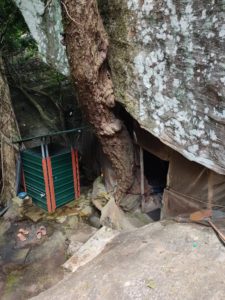 | Kandy District | A path running from the solitary Udagalbokka Kuṭi to the village below. An exteremely remote path. Elephants frequent the path from afternoon onwards. If heading to the kuṭi, one should leave in the early morning. An extremely remote kuṭi. The village of Udagalbokka only has a footpath leading to it. The villagers use buffalo to plough roads. Very quiet. A beautiful route. Length -- 4.33 km | Elevation gain -- up 11m, down 602m | Moving time -- 1:22:54 | Avg. pace -- 19:09 | Calories --719 | Total time --2:05:15 | 9 | DOWNLOAD |
Pilikuttuwa to Ambalgaspitiya Forest | 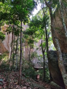 | Colombo District | Pilikutuwa to Ambalgaspitiya A beautiful cārika route going from the Pilikutuwa forest to the village of Ambalgaspitiya. It passes by a very large cave kuṭi with two mud kuṭis. One can stay there for the night and go on piṇḍapāta with resident monks, if one likes. | 7 | DOWNLOAD |